Skip to the content
NOAA Logo

CIRA Satellite Library

CIRA Logo
CIRA Logo

CIRA Satellite Library

Menu
Home
Archive
Daily

Events

x

Recent Events

Texas Hill Country Floods

Hurricane Flossie

Hurricane Erick

All Events

Info

x
    • Mail
    • Twitter
    • Instagram
    • Bluesky
    • LinkedIn
    • Facebook
    • YouTube
    • TikTok
  • Contact Us
    All Events
    All Media
    Daily Loop
    How to Credit Imagery

Accessibility Tools

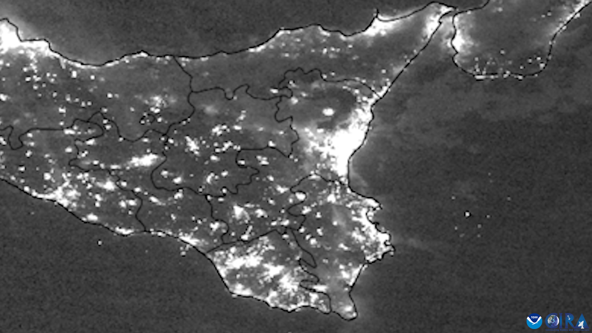
Mount Etna Eruption Hotspot


Satellite imagery of this event:

Hover over the boxes to play. Click the images to view enlarged

How to credit this imagery | Contributions by: CIRA Staff
202311130016_n20_viirs_daynightband_mtetnanoaa_nolabels_nocircle0

Media Details


Phenomena Volcanoes
Satellites NOAA-20, NOAA-21
Products Day/Night Band
Instruments VIIRS

Timespan Start: 2023/11/13 00:16 - 2023/11/14 01:35

  • Nov. 13 00:16Z NOAA-20 (with circle & with time-labels)
  • Nov. 13 00:16Z NOAA-20 (with circle & without time-labels)
  • Nov. 13 00:39Z NOAA-21 (with circle & with time-labels)
  • Nov. 13 00:39Z NOAA-21 (with circle & without time-labels)
  • Nov. 13 01:58Z NOAA-20 (with circle & with time-labels)
  • Nov. 13 01:58Z NOAA-20 (with circle & without time-labels)
  • Nov. 14 00:21Z NOAA-21 (with circle & with time-labels)
  • Nov. 14 00:21Z NOAA-21 (with circle & with time-labels)
  • Nov. 14 01:35Z NOAA-20 (with circle & with time-labels)
  • Nov. 14 01:35Z NOAA-20 (with circle & with time-labels)

Disclaimer | Equal Opportunity | Privacy Policy | Colorado State University | CIRA
© 2025 CIRA Satellite Library Staff