Typhoon Nalgae (Paeng)

Typhoon Nalgae (Paeng)

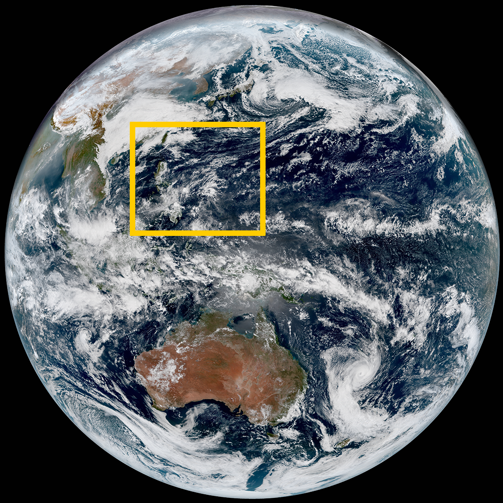
Tropical Storm Nalgae (also known  as Paeng in the Philippines) formed on October 27th, 2022 nearly 600 miles southeast of the Philippines.

Nalgae brought torrential rains to the southern regions of the Philippines, killing over a hundred people with flash floods and landslides.

Nalgae exited the Philippines on October 30th, re-emerging over the open waters of the South China Sea. Late on October 31st, Nalgae reached its peak intensity as a typhoon with maximum sustained winds of 75 mph.

Nalgae pushed northwest and made landfall in mainland China, west of Hong Kong, as a tropical storm. On November 2nd, Nalgae dissipated.


Satellite animations of this event:

Hover over the boxes to play. Click the images to view enlarged

Tropical Storm Nalgae's Trek Through the Philippines

Description:

A three day time lapse that shows Tropical Storm Nalgae’s trek through the Philippines and into the South China Sea.

Satellite: Himawari-8


Product: GeoColor


Timespan: 10/28/2022 00:00 - 10/30/2022 18:00 UTC

Tropical Storm Nalgae Organizing as it Approaches the Philippines

Description:

A twenty-four hour time lapse showing Tropical Storm Nalgae (Paeng) organizing as it approaches the Philippines.

Satellite: Himawari-8


Product: Infrared (band 13)


Timespan: 10/27/2022 16:00 - 10/28/2022 14:30 UTC

Tropical Storm Nalgae Strengthens as it Approaches the Philippines

Description:

Tropical Storm Nalgae strengthens as it approaches the Philippines.

Satellite: Himawari-8


Product: GeoColor


Timespan: 10/27/2022 00:00 - 10/27/2022 18:50 UTC

Tropical Depression Twenty Six Forms in the Western Pacific

Description:

A broad tropical wave strengthens into Tropical Storm Twenty Six in the Western Pacific.

Satellite: Himawari-8


Product: GeoColor


Timespan: 10/25/2022 23:30 - 10/27/2022 01:40 UTC