

Hurricane Orlene
Orlene was a hurricane in the Eastern Pacific that made landfall in southwestern Mexico.
Orlene formed as a tropical storm early on September 29th, 2022 in the far eastern Pacific. Over the next two days, Orlene maintained tropical storm intensity while moving north.
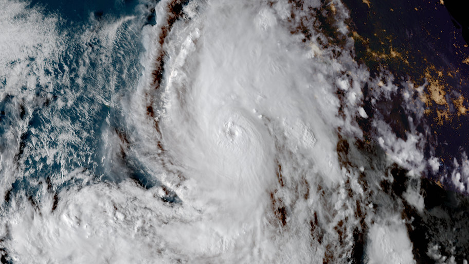
On October 1st, Orlene became a hurricane with maximum sustained winds of 75 mph. Over the next twenty four hours, Hurricane Orlene rapidly intensified into a major hurricane. Orlene peaked in intensity as a Category 4 storm with maximum sustained winds of 130 mph on October 2nd.
Early on October 3rd, Hurricane Orlene made landfall in southwestern Mexico as a Category 1 storm. Orlene was a small storm, but it forecasted 6 to 14 inches of rain on the archipelago of Islas Marias, in the state of Nayarit. Waves and storm surge were also forecasted for Islas Marias.
The hurricane prompted closures of ports in Nayarit, Jalisco and Colima.
Visit the National Hurricane Center for archived forecasts and information on Hurricane Orlene.

Satellite imagery of this event:
Hover over the boxes to play. Click the images to view enlarged