Menu
Home
Events
Archive
Daily
info
x
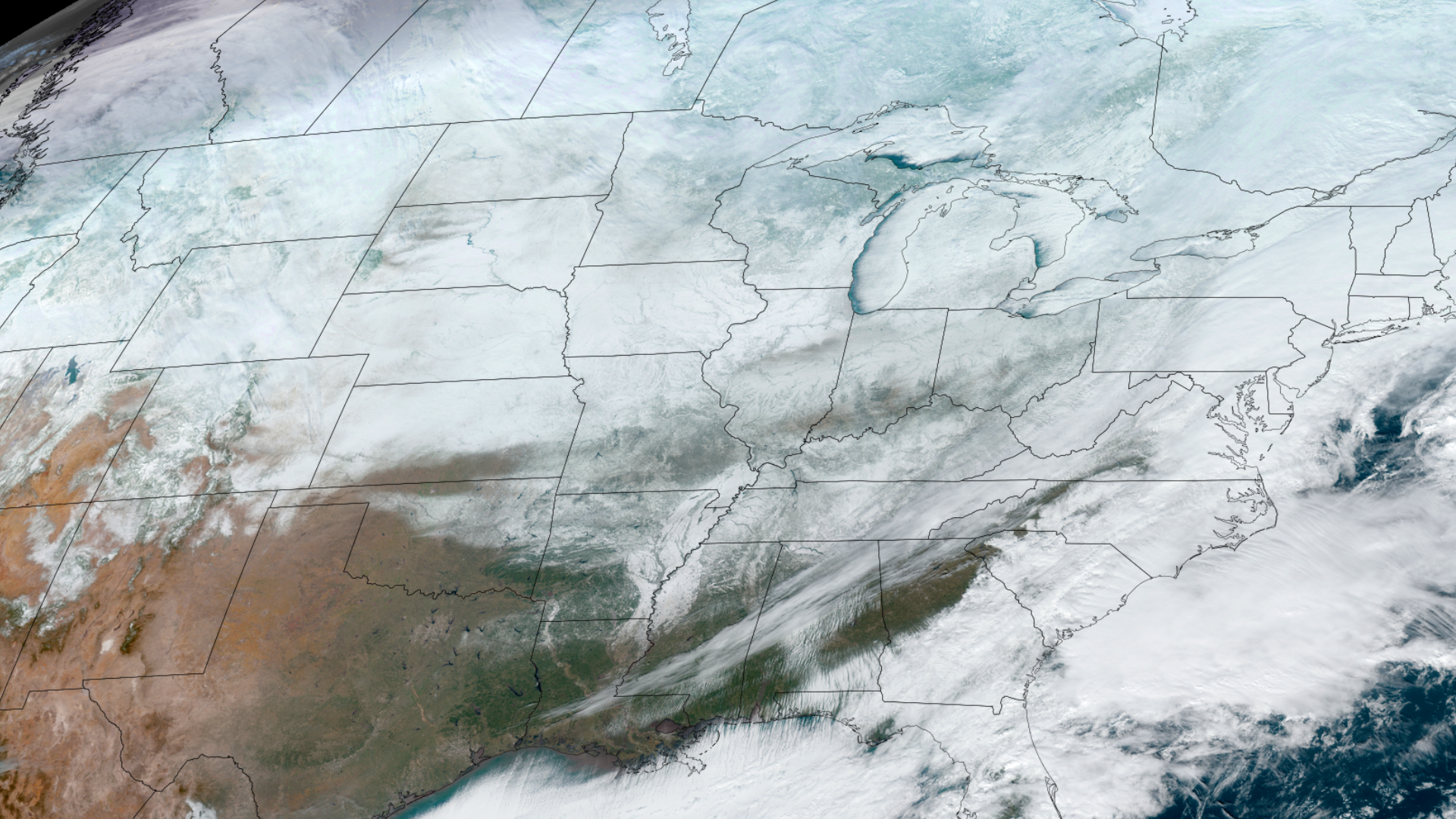
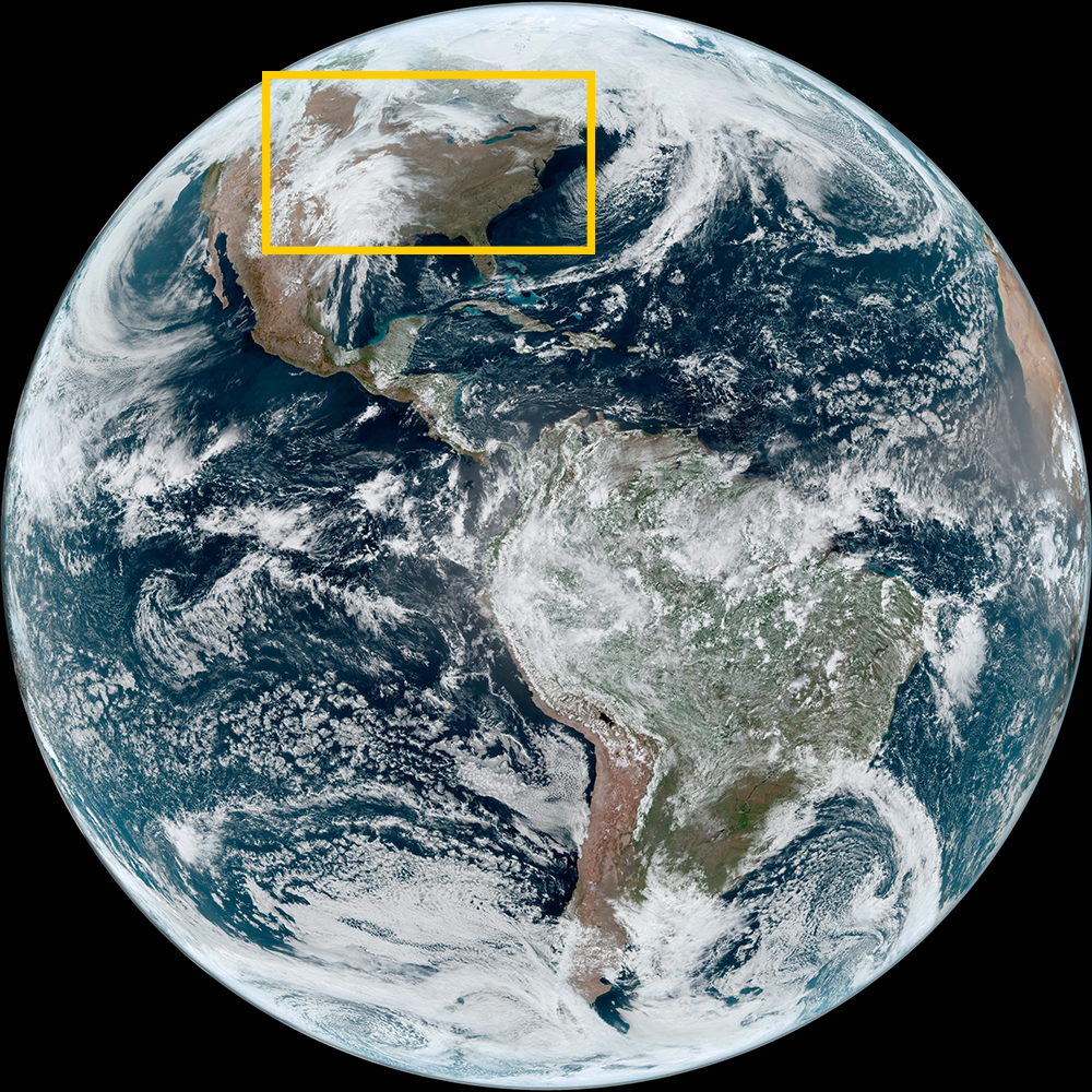
An arctic blast took hold of the continental United States in the middle of January 2024, ushering in far-reaching subzero temperatures and snow.
The frigid winter air spread across most of the country, even extending all the way down to the bottom of Texas.
While the Midwest received more winter weather and heavy snow, cites along the east coast like Baltimore, Philadelphia, and New York City received the most amount of snowfall from this system in almost 2 years.
Visit event location on SLIDER
Hover over the boxes to play. Click the images to view enlarged

Description:
Lake effect clouds streaming off of the Great Lakes bring bountiful snow to the Midwest and Northeast US.
Phenomena: Winter Weather Lake Effect
Satellite: NOAA-20 NOAA-21 S-NPP
Product: Visible (I1)
Instrument: VIIRS
It’s been cold in the interior of North America over the last few days. Ground temperatures were so cold they were similar to cloud top temperatures — a rarity in the continental US.
Phenomena: Surface Temperatures Winter Weather
Satellite: GOES-16
Product: Infrared (band 13)
Instrument: ABI
A fascinating, high resolution view of clouds streaming off of Lake Michigan.
Product: GeoColor
A high resolution satellite view of newly-fallen snow across the Southern United States.
Phenomena: Winter Weather Snowfall
Polar-orbiting satellites shows the snow in white contrasted against the surface, covering a large area of the US.
Product: Snow/Cloud Layers
Daylight reveals far-reaching snow cover, as far south as northern Louisiana.
Lake effect snow bands set up across Lakes Erie and Ontario.
Phenomena: Winter Weather Lake Effect Snowfall
An intense lake effect snow band batters Buffalo and other parts of western New York.
See more Winter events:
West Coast Atmospheric Rivers -