


Hurricane Dora
Dora was a long-lived, major hurricane in the Pacific Ocean.
Dora formed on July 31, 2023 as tropical storm south of Mexico. Several days later, Dora rapidly-intensified from a tropical storm into a category 4 hurricane in the Eastern Pacific basin before traveling west.
Dora’s long journey saw it enter the Central Pacific basin, then eventually the Western Pacific basin when it crossed the International Date Line, earning the name Typhoon Dora. This rare feat was only accomplished by one other storm.
Hurricane Dora also had an indirect influence on the Maui Wildfires. Dora was far enough away from Hawaii to not be directly involved with the ignition and spread of the fires, however its passage to the south of the islands was coincident with the synoptic pattern that allowed for the fire weather conditions to be present.
The full report on Hurricane Dora can be found via the National Hurricane Center.
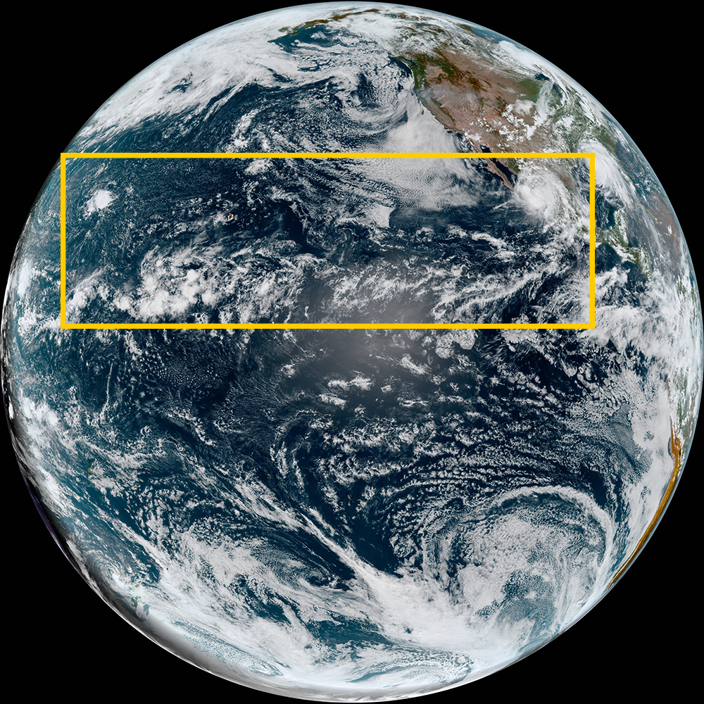
Satellite imagery of this event:
Hover over the boxes to play. Click the images to view enlarged