Super Typhoon Mawar

Super Typhoon Mawar

Mawar is a typhoon in the Western Pacific Ocean. The storm brought significant impacts to the island of Guam.

Mawar’s destruction in Guam included 14-29 inches of rain being dumped on the island, with almost 7 inches per hour being recorded in Dededo.

After being the strongest storm to strike Guam in 20 years on May 24, Mawar intensified and is now headed towards the Philippines, Taiwan and Japan, where it is expected to hit Sunday.

On Friday, May 26, the storm was designated as the most powerful in the last two years, since Super Typhoon Surigae in 2021, and has ranked as one of the top ten most powerful storms globally since 2000.

Mawar is also an uncharacteristically strong storm for this early in the year, with only nine typhoons in the Western Pacific measuring the equivalent of a category 5 strength in May since 1950, including Mawar.

The wind speed at Mawar’s eye wall was estimated at 185 mph on May 26. This maximum wind speed is the second time a global storm has been measured at this strength in May, other than Typhoon Phyllis in 1958.

For more detailed forecast information, visit the Joint Typhoon Warning Center.
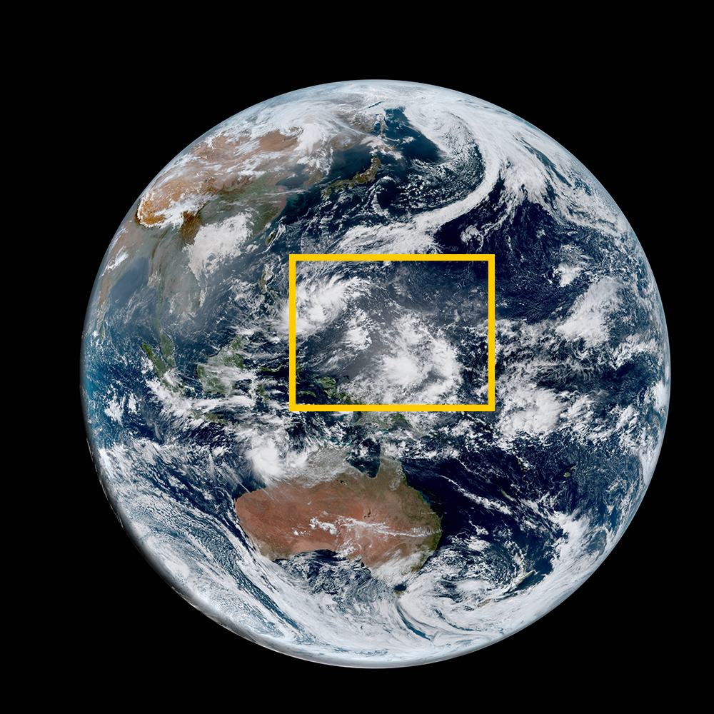

Satellite animations of this event:

Hover over the boxes to play. Click the images to view enlarged

Tropical Storm Mawar Brings Rain and Wind to Okinawa

Description:

Tropical Storm Mawar brings heavy rain and winds to Okinawa, Japan.

Satellite: Himawari-9


Product: GeoColor


Timespan: 05/31/2023 18:10 - 06/01/2023 14:00 UTC

Typhoon Mawar Drifts North in the Philippine Sea

Description:

Mawar drifts north in the Philippine Sea as a weakening typhoon.

Satellite: Himawari-9


Product: GeoColor


Timespan: 05/30/2023 04:30 - 05/31/2023 04:20 UTC

Stunning View of Super Typhoon Mawar Churning over Western Pacific

Description:

Super Typhoon Mawar churns over the Western Pacific Ocean as a Category 5 storm.

Satellite: Himawari-9


Product: GeoColor


Timespan: 05/25/2023 14:30 - 05/26/2023 00:30 UTC

Jaw Dropping Imagery of Super Typhoon Mawar

Satellite: Himawari-9


Product: Visible (band 3)


Timespan: 05/25/2023 20:39 - 05/25/2023 23:17 UTC

Super Typhoon Mawar Regains Impressive Eye

Description:

Super Typhoon Mawar regains its powerful and impressive eye.

Satellite: Himawari-9


Product: Visible (band 3)


Timespan: 05/24/2023 21:02 - 05/25/2023 02:47 UTC

Typhoon Mawar Restrengthens after passing West of Guam

Description:

Typhoon Mawar regains strength after passing west of Guam.

Satellite: Himawari-9


Product: Infrared (band 13)


Timespan: 05/24/2023 10:02 - 05/24/2023 19:02 UTC

Typhoon Mawar Batters Guam with Torrential Rains and Powerful Winds

Satellite: Himawari-9


Product: GeoColor


Timespan: 05/23/2023 16:00 - 05/24/2023 05:40 UTC

Super Typhoon Mawar's Powerful Eye

Description:

A high resolution view of Super Typhoon Mawar’s powerful, churning eye.

Satellite: Himawari-9


Product: Visible (band 3)


Timespan: 05/22/2023 20:32 - 05/23/2023 07:59 UTC

Incredibly Powerful Super Typhoon Mawar Approaches Guam

Description:

Super Typhoon Mawar approaches Guam as a powerful storm.

Satellite: Himawari-9


Product: GeoColor


Timespan: 05/22/2023 16:20 - 05/23/2023 13:10 UTC

Three Day Evolution of Typhoon Mawar

Satellite: Himawari-9


Product: Infrared (band 13)


Timespan: 05/19/2023 12:20 - 05/22/2023 00:10 UTC