Menu
Home
Events
Archive
Daily
info
x
Over the course of several days, a tornado outbreak was unleashed on multiple states across the Great Plains
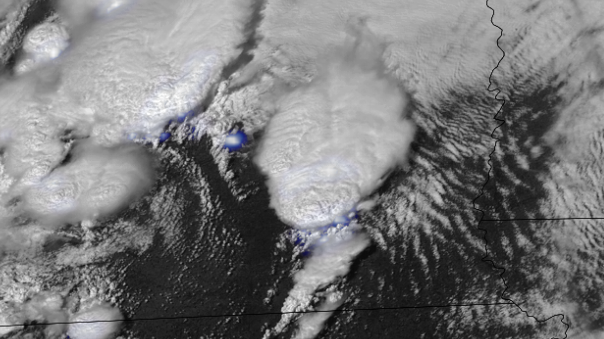
On April 26, 2024, several supercell thunderstorms erupted over the Central Plains, producing tornadoes across Nebraska and Iowa. A large and destructive tornado, rated an EF-3 by the National Weather Service, passed just north of Lincoln, Nebraska. Another long-track EF-3 tornado caused destruction in Elkhorn, a town just on the outskirts of Omaha.
On April 27, 2024, another severe weather set-up brought tornadoes and large hail to parts of Texas, Oklahoma, and Kansas. The first tornado-producing supercells initiated in the afternoon in parts of Texas and Oklahoma. The most devastating tornadoes came at night in southern Oklahoma, with an EF-3 touching down near the town of Sulphur. Soon after, a powerful, EF-4 tornado rolled passed Mariette and Ardmore, ripping open a Dollar Tree warehouse.
More information on severe weather can be found via the Storm Prediction Center. For information on tornado tracks, visit the Damage Assessment Toolkit.
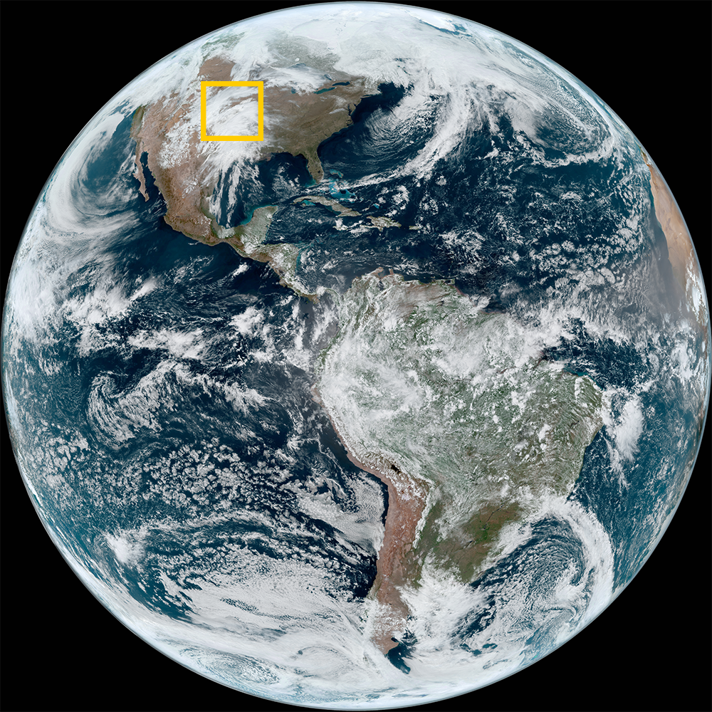
Visit event location on SLIDER
Hover over the boxes to play. Click the images to view enlarged
Description:
A multi-day time lapse showing the evolution of multiple low pressure systems that fueled a tornado outbreak across the Great Plains.
Phenomena: Mid-latitude Cyclones Thunderstorms
Satellite: GOES-16
Product: Water Vapor (band 10)
Instrument: ABI
Slow moving thunderstorms dumped incredible amounts of rain on eastern Texas overnight.
Phenomena: Flooding Thunderstorms
Product: GeoColor Infrared (band 13)
Instrument: AHI
As night falls over Oklahoma, severe storms continue to advance through the Sooner State, with some producing dangerous tornadoes.
Phenomena: Lightning Thunderstorms Tornadoes
Product: GeoColor GLM Group Energy Density
Instrument: ABI GLM
A long-lived, tornadic supercell marches across northern Texas.
Phenomena: Thunderstorms Above Anvil Cirrus Plumes Overshooting Tops Tornadoes
Product: GLM Group Energy Density Visible (band 2)
Severe thunderstorms and tornadic supercells ramp up this afternoon, ripping through the Southern and Central Plains.
Bubbling storm convection isn’t expected to quiet down anytime soon, threating the region through the nighttime hours.
Phenomena: Thunderstorms Hail Tornadoes Wind
Product: Infrared (band 13) Visible (band 2)
Another active day for the central US begins as thunderstorms form over Texas and Oklahoma.
Phenomena: Lightning Thunderstorms
A mid-latitude cyclone spawning several destructive and long-lived tornadoes across Nebraska and Iowa.
Phenomena: Lightning Mid-latitude Cyclones Thunderstorms Tornadoes
A tornadic storm forming in southeast Nebraska, passing just north of Lincoln, Nebraska.
Phenomena: Thunderstorms Tornadoes
An impressive, tornadic supercell forms over southern Nebraska.
Phenomena: Lightning Mid-latitude Cyclones Thunderstorms Above Anvil Cirrus Plumes Overshooting Tops Tornadoes
Large amounts of dust and smoke flow over Mexico and southern Texas., kicked up by the system bringing stormy weather to the Central US.
Phenomena: Dust Mid-latitude Cyclones Thunderstorms Above Anvil Cirrus Plumes Overshooting Tops Tornadoes Wildfires Smoke
Product: GeoColor
Phenomena: Thunderstorms
Product: Visible (band 2)
From the High Plains to West Texas, nighttime storms continue to bring strong and severe weather across the Central US. Large hail and some tornado reports have come from this system.
Phenomena: Lightning Thunderstorms Hail
This high resolution view shows severe storms erupting across Colorado, Kansas, and Nebraska
Phenomena: Thunderstorms Above Anvil Cirrus Plumes Hail Overshooting Tops Tornadoes Wind
Storms are beginning to pop-up across the Central Plains, with some already becoming severe.
See more Severe Storms events:
Southern Plains Tornado Outbreak -