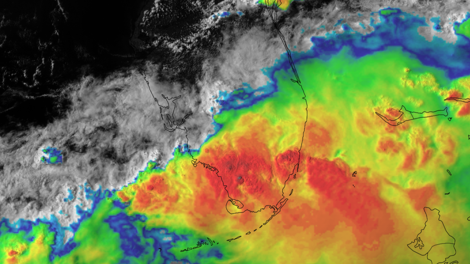
Flooding Rain for Southern Florida
Heavy rain began in southern Florida on 11 June 2024. Sarasota Bradenton International Airport received nearly 6.5 inches (165 mm) of rain from the first round of storms. Storms also impacted the eastern coast of Florida, with Miami getting about 6 inches (150 mm) of rain.
As tropical moisture remained over the region, storms erupted again on 12 June 2024, bringing more rain to the same spots. Over a 48-hour period beginning on 11 June, Miami Beach saw 13.64 inches (347 mm) of rain and 19.10 inches (485 mm) fell over Hollywood.
The same areas are under a high risk for excessive rainfall on 13 June 2024, with 4 to 8 inches (101 to 203 mm) expected, with localized spots seeing more than 10 inches (254 mm) of new precipitation.
For more information about the excessive rain outlook, visit the Weather Prediction Center, and for more information about the severe risk, visit the Storm Prediction Center.
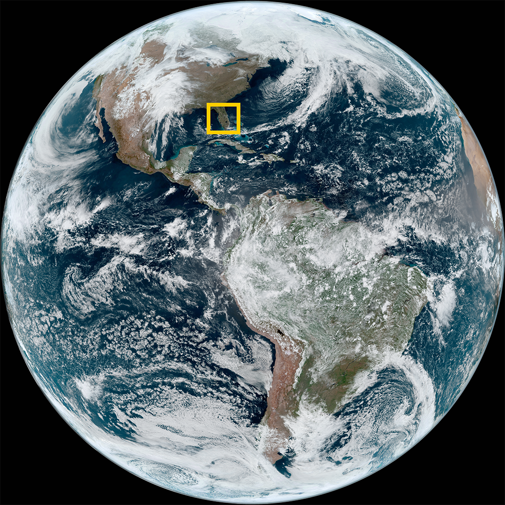
Satellite imagery of this event:
Hover over the boxes to play. Click the images to view enlarged


