Menu
Home
Events
Archive
Daily
info
x
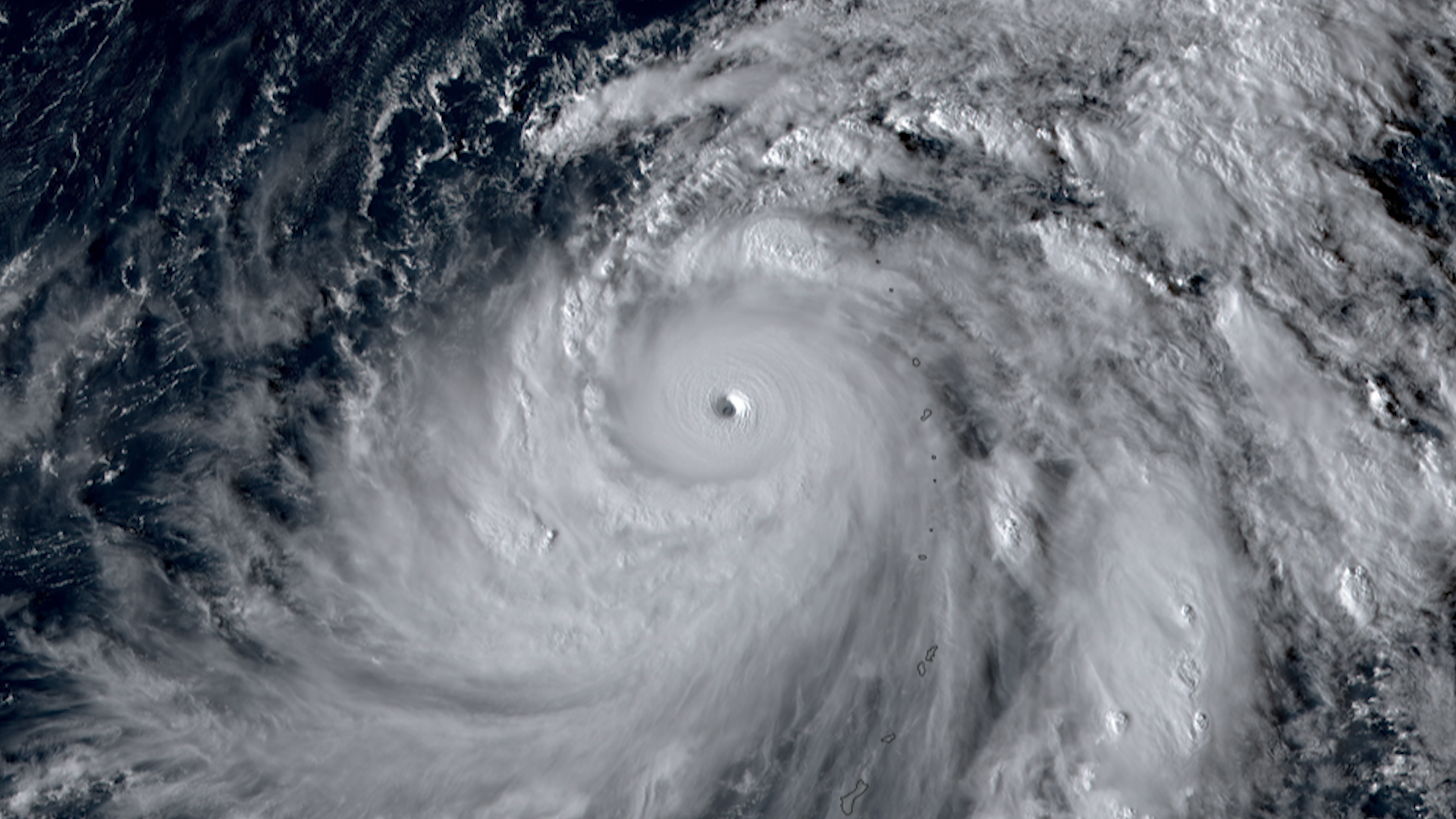
Bolaven was a very strong super typhoon in the western Pacific Ocean.
The storm brough torrential rain, strong winds, as well as sea swells and dangerous surf to Guam and the Northern Mariana Islands as it passed by.
Bolaven rapidly intensified, with winds increasing in speed by 94 mph in a 24 hour period.
Bolaven reached max sustained wind speeds of 155 knots, which would would put it well above the threshold for a category 5 hurricane on the Saffir-Simpson scale. It also achieved wind gusts up to 190 knots.
Bolaven was 2023’s second strongest storm.
For more information, visit the Joint Typhoon Warning Center.
Visit event location on SLIDER
Hover over the boxes to play. Click the images to view enlarged
Bolaven’s impressive eye from yesterday can be seen here in two magnifications from NOAA-21’s VIIRS instrument.
Timespan Start: 2023/10/12 03:32 -
Typhoon Bolaven weakens in the western Pacific Ocean. The storm is expected to become extratropical in the coming days.
Timespan Start: 2023/10/12 17:00 - 2023/10/13 14:00
Super Typhoon Bolaven’s clear, powerful eye continues to churn in the Western Pacific.
Timespan Start: 2023/10/11 23:29 - 2023/10/12 04:32
Super Typhoon Bolaven continues to churn in the western Pacific Ocean with a very organized eye.
Timespan Start: 2023/10/11 15:00 - 2023/10/12 14:00
A high resolution view of Super Typhoon Bolaven’s impressive eye.
Timespan Start: 2023/10/10 20:32 - 2023/10/11 07:59
After passing through the Mariana Islands, Bolaven quickly strengthened into a super typhoon with maximum winds around 180mph. The storm is expected to stay over open waters in the Philippine Sea.
Timespan Start: 2023/10/10 16:00 - 2023/10/11 15:00
Bolaven passes through these US territories bringing heavy rain, damaging winds, and dangerous sea conditions.
Timespan Start: 2023/10/09 18:00 - 2023/10/10 16:00
See more Tropical Cyclones events:
Hurricane Norma