
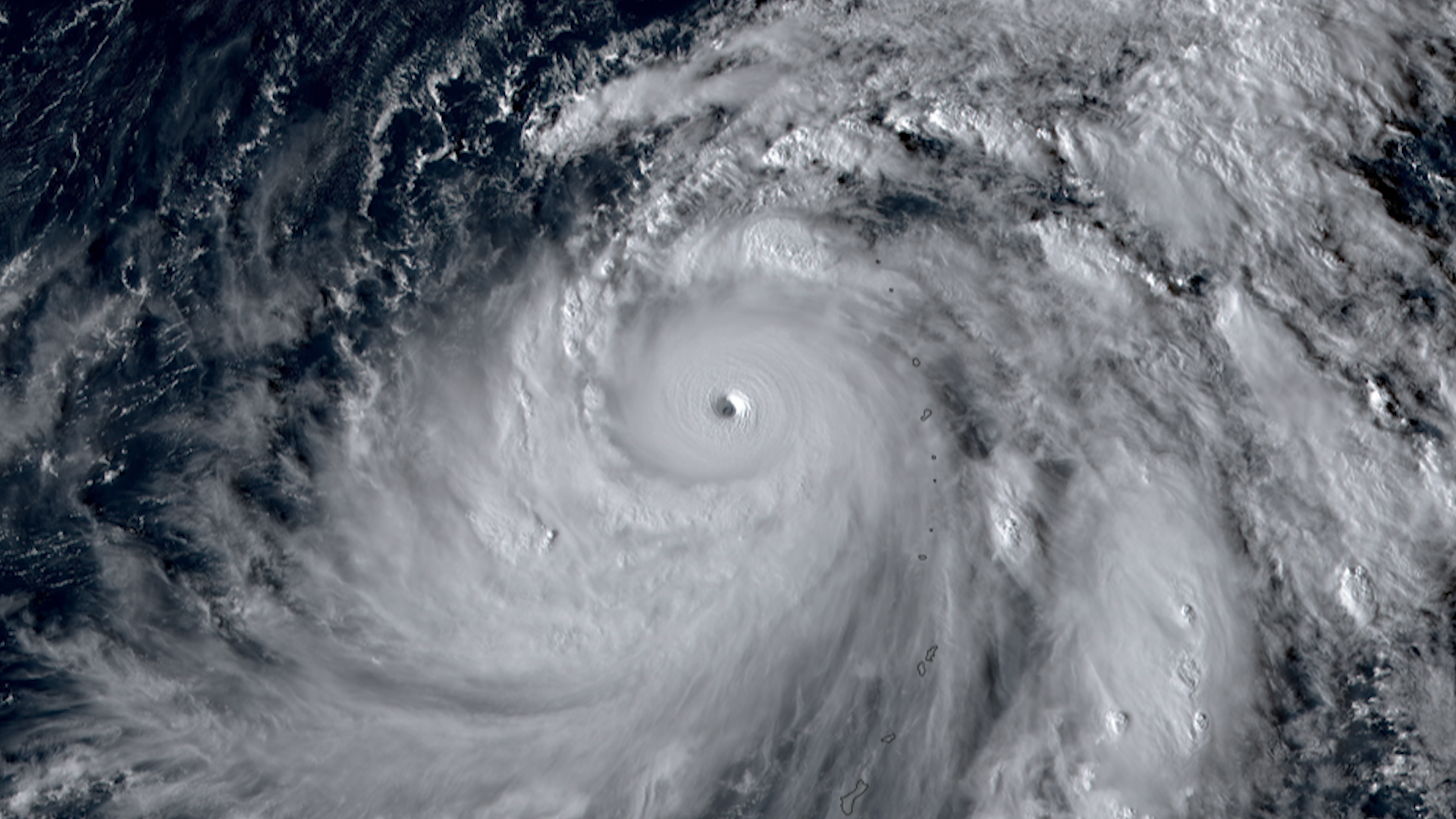

Super Typhoon Bolaven
Bolaven was a very strong super typhoon in the western Pacific Ocean.
The storm brough torrential rain, strong winds, as well as sea swells and dangerous surf to Guam and the Northern Mariana Islands as it passed by.
Bolaven rapidly intensified, with winds increasing in speed by 94 mph in a 24 hour period.
Bolaven reached max sustained wind speeds of 155 knots, which would would put it well above the threshold for a category 5 hurricane on the Saffir-Simpson scale. It also achieved wind gusts up to 190 knots.
Bolaven was 2023’s second strongest storm.
For more information, visit the Joint Typhoon Warning Center.

|
Contributions by: CIRA Staff
Satellite imagery of this event:
Hover over the boxes to play. Click the images to view enlarged