Tropical Cyclone Narelle
Tropical Cyclone Narelle formed on March 17, 2026 in the northern Coral Sea. The storm moved westward, and quickly strengthened into a Severe Tropical Storm by March 19, with winds of 145 mph (233 km/h) as it neared the Cape York peninsula. The current sea surface temperatures of the Coral Sea are above average, which helped fuel Narelle’s rapid intensification.
Narelle made landfall in northern Queensland near sunrise in the morning, local time, on March 20. As it crossed the peninsula, the storm dropped a significant amount of rain and emerged over the Gulf of Carpentaria a few hours after landfall as a slightly weakened storm. The storm continued westward and crossed the Gulf, making a second landfall in the Northern Territory on March 21. Narelle dropped more than 4 inches (100 mm) of rain as it traveled across the northern portion of the territory.
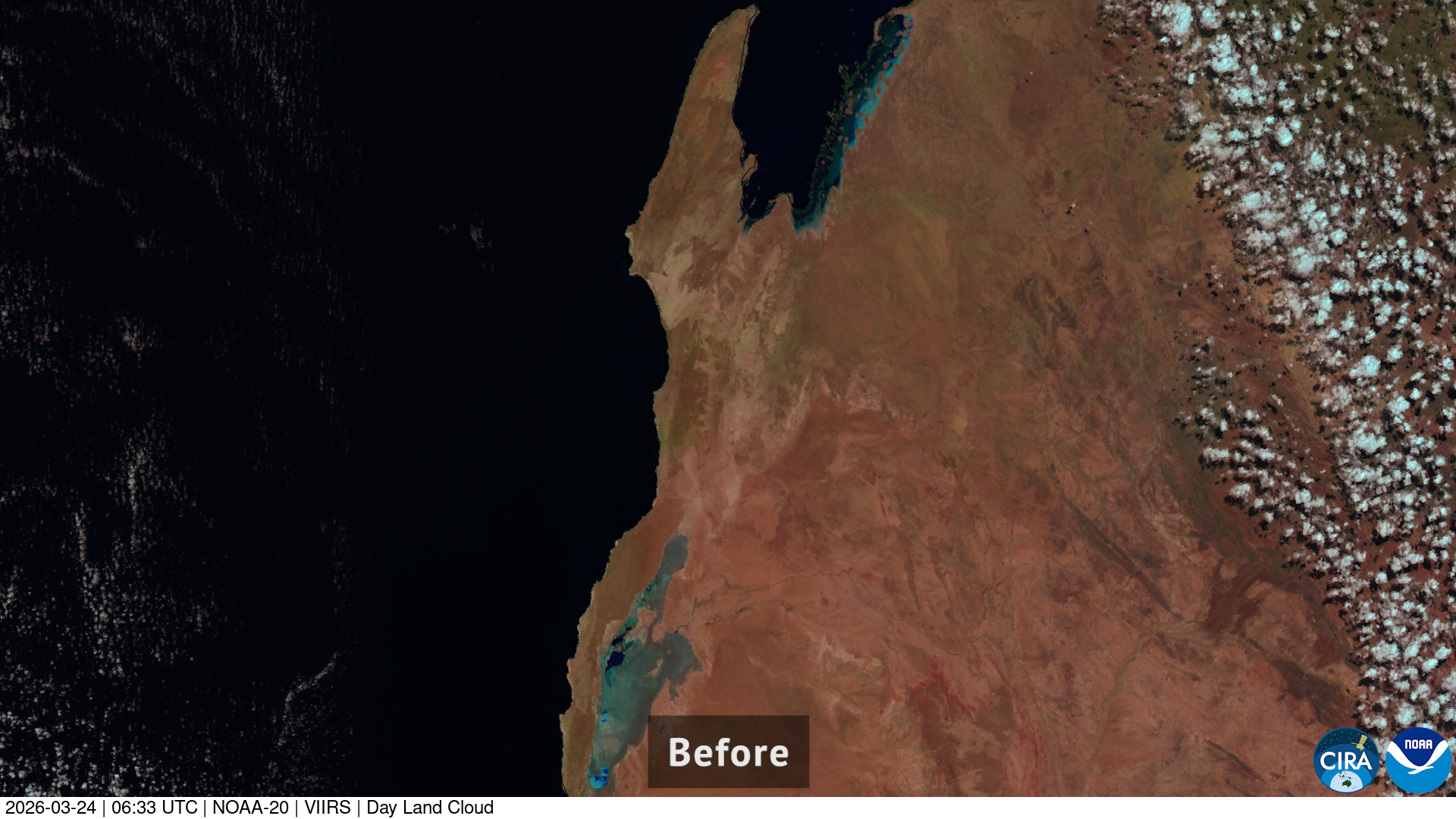
On March 24, Narelle crossed from Western Australia to the Indian Ocean, and began restrengthening again. Just before daybreak on March 27, the storm made landfall in northwestern Western Australia near Exmouth, lashing the region with strong winds and heavy rain. After making landfall, Narelle soon weakened into a subtropical system.

Satellite imagery of this event:
Hover over the boxes to play. Click the images to view enlarged