
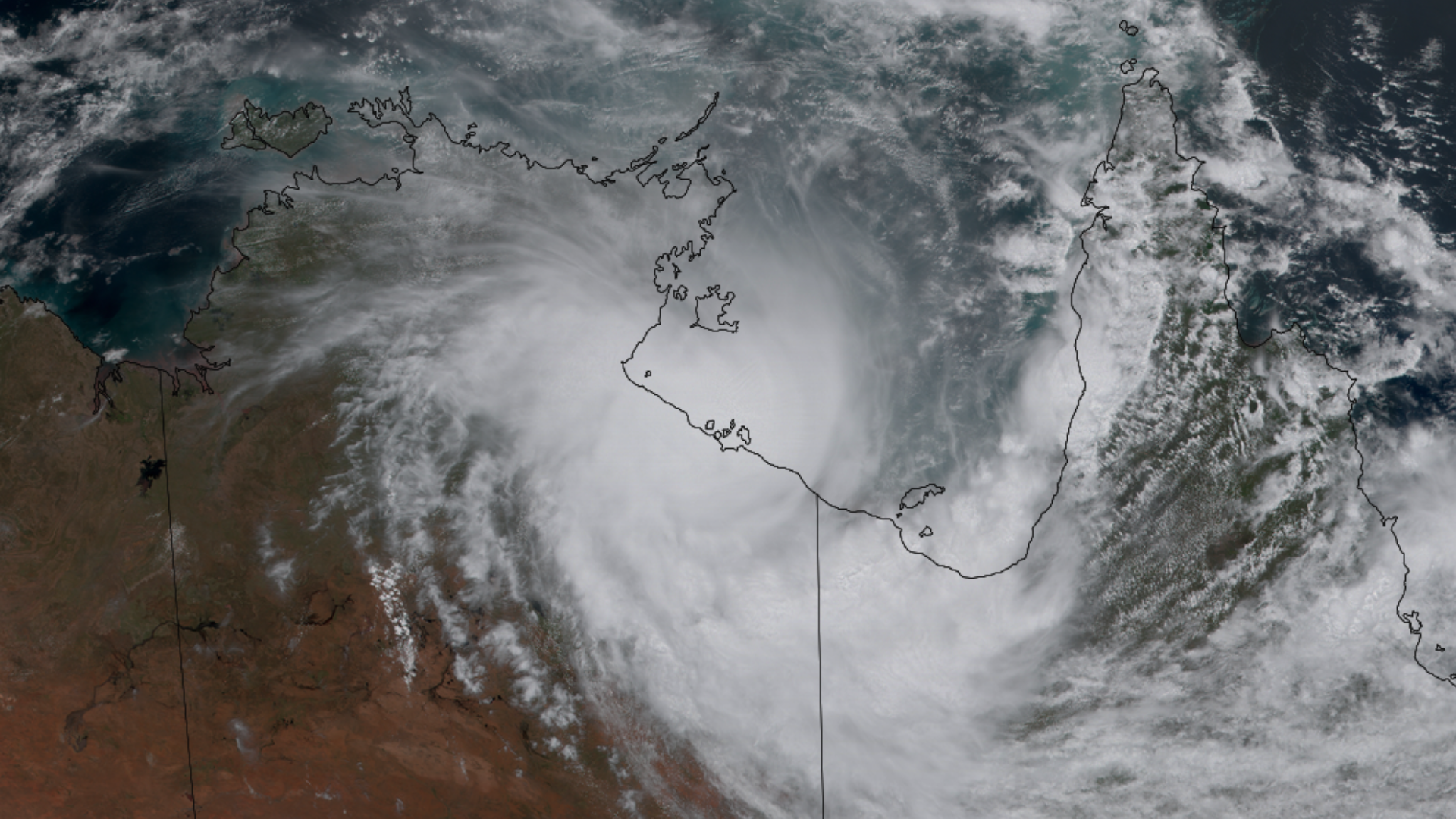

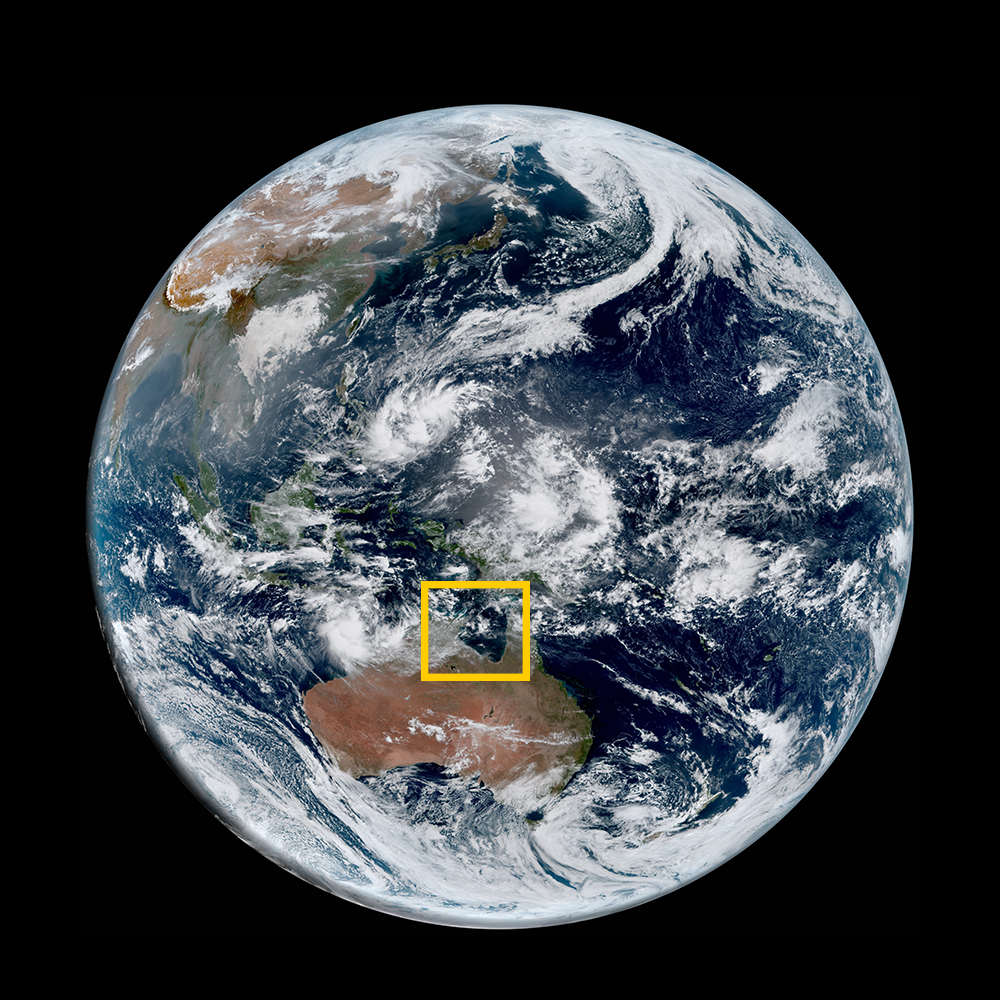
Tropical Cyclone Megan
Megan was a tropical cyclone that developed over the Gulf of Carpentaria and made landfall as a category 3 strength storm, southeast of Port McArthur, Northern Territory.
Residents of the region of Borroloola were evacuated. Heavy rainfall was reported, as well as windspeed up to 200 mph.
For more information, visit the Joint Typhoon Warning Center.
|
Contributions by: Josh Reiter and Kim Erickson
Satellite imagery of this event:
Hover over the boxes to play. Click the images to view enlarged