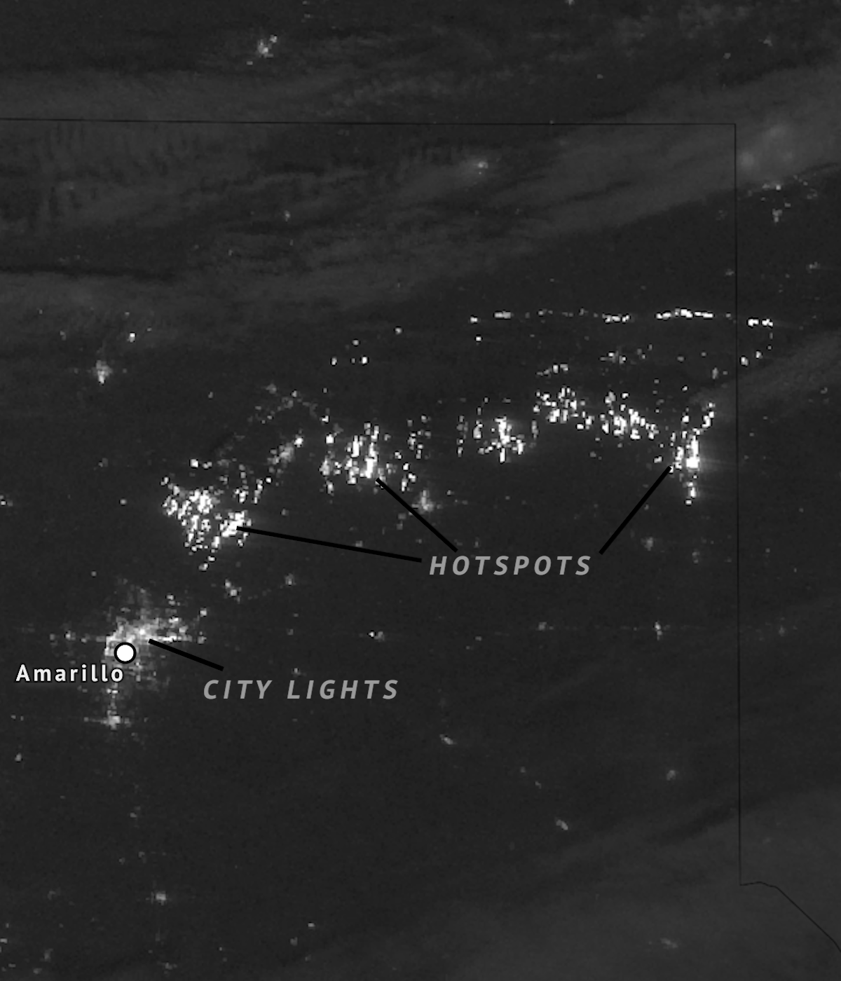
Multiple massive wildfires ignited across Texas and Oklahoma on February 26, 2024, as high winds and dry conditions plagued the region. The blazes continued and grew rapidly over the following 36 hours as the high fire danger environment persisted. The fires were fueled even more by a cold that charged south across the Central Plains, rapidly pushing the fire spread south. 

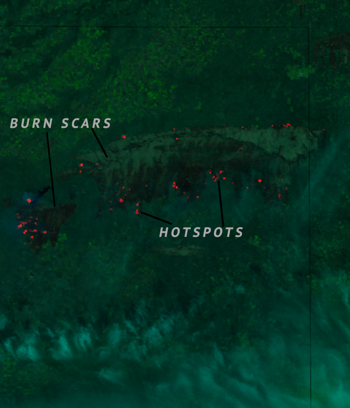
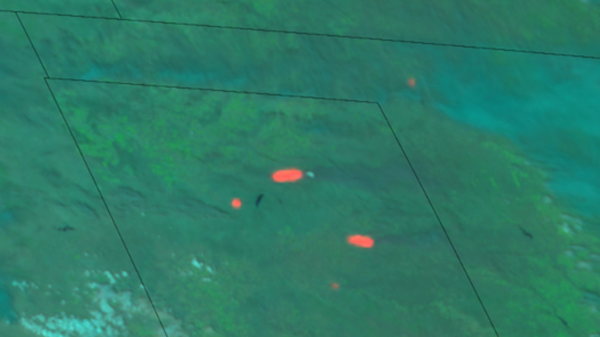
The biggest wildfire from this event was the Smokehouse Creek Fire in the Texas Panhandle. The fire consumed over a million acres (400,000 hectares) becoming the largest wildfire in Texas state history. The fire is responsible for burning a hundred miles of power lines, thousands of cattle, and at least 30 homes. The Smokehouse Creek Fire has also consumed over 30,000 acres (12,000 hectares) of grasslands in Oklahoma. 

More information about the Smokehouse Creek Fire can be found on Inciweb and a detailed meteorological overview can be found on the Satellite Liason Blog. 

|
Contributions by: Dakota Smith, Kim Erickson and Josh Reiter

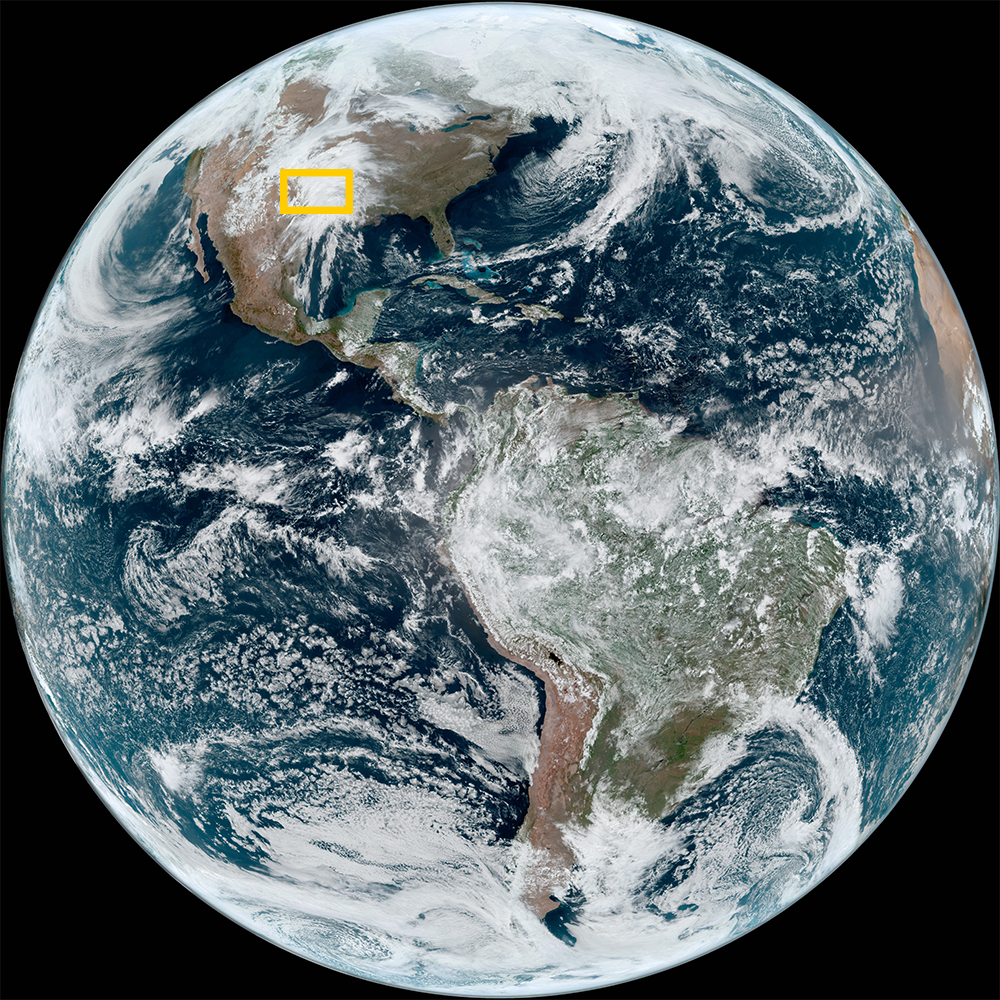
Satellite imagery of this event:

Hover over the boxes to play. Click the images to view enlarged

High-Res Imagery of Texas Wildfire During the Day

Description:

Multiple fires, including the prominent Smokehouse Creek Fire, emerged in the Texas Panhandle north of Amarillo. Over several days, these fires merged to form the largest fire in Texas state history. Day fire imagery highlights the burn scar left behind as well as some of the persisting hotspots.


Phenomena: Wildfires Burn Scars

Satellite: S-NPP

Product: Day Fire

Instrument: VIIRS

Daylight Reveals Smokehouse Creek Fire Burn Scar

Description:

After a big day of fire growth, daylight reveals a large burn scar left by the Smokehouse Creek Fire.


Phenomena: Wildfires Burn Scars

Satellite: GOES-16

Product: Day Fire

Instrument: ABI

Fires in Texas Panhandle Continue to Burn

Description:

Fires, including the large Smokehouse Creek Fire, burn across the Texas Panhandle.


Phenomena: Wildfires

Satellite: GOES-16

Product: Day Fire

Instrument: ABI

High-Res Imagery of Texas Wildfire During the Night

Description:

Nighttime views from VIIRS polar-orbiting satellites utilize a product that is sensitive to low levels of light, capturing the still-raging fires under the cover of darkness. This perspective shows how much brighter the fires appear compared to the city lights of Amarillo, TX.


Phenomena: Wildfires

Satellite: S-NPP

Product: Day/Night Band

Instrument: VIIRS

-
Fires in Texas and Oklahoma Directed Southbound From Front

Description:

As the fast-moving cold front encounters the wildfires scorching Texas and Oklahoma, the fires are oriented from east-west to north-south following the new wind direction.


Phenomena: Cold Fronts Wildfires

Satellite: GOES-18

Product: Fire Temperature

Instrument: ABI

High Resolution View of Texas Panhandle Fires

Description:

As the fast-moving cold front encounters the wildfires scorching Texas and Oklahoma, the fires are oriented from east-west to north-south following the new wind direction.


Phenomena: Wildfires

Satellite: NOAA-20 NOAA-21 S-NPP

Product: Fire Temperature

Instrument: VIIRS

Day and Night Evolution of Fires in Texas Panhandle

Description:

High-res timelapse of the fires in Texas and Oklahoma throughout the day of 2/27 through the overnight hours into 2/28.


Phenomena: Cold Fronts Wildfires

Satellite: GOES-18

Product: Shortwave Window (Band 7)

Instrument: ABI

Nighttime Polar-Orbiting Views of the Fires in Texas

Description:

VIIRS instruments onboard polar-orbiting satellites captured the fires in the Texas Panhandle over the course of the last two nights.

This imagery highlights how quickly the fires grew in 24 hours, as well as how much brighter they appear compared to the city lights of Amarillo.


Phenomena: Wildfires

Satellite: NOAA-20 NOAA-21 S-NPP

Product: Day/Night Band

Instrument: VIIRS

High-Resolution Rapid Expansion of Texas's Largest Wildfire

Description:

The largest fire in Texas state history plundered over a million acres in the panhandle. This high-resolution imagery captured its rapid expansion over the last few days.


Phenomena: Wildfires Smoke

Satellite: NOAA-20 NOAA-21 S-NPP

Product: Fire Temperature GeoColor

Instrument: VIIRS

-
Multiday Timelapse of Fires in Texas

Description:

The Smokehouse Creek fire and others merged into the second largest fire in Texas’s history over the course of the last two days. The fires are highlighted in white, while clouds are grey or blue.


Phenomena: Wildfires

Satellite: GOES-16

Product: Shortwave Window (Band 7)

Instrument: ABI

-
Fires Blaze in the Southern Plains Under Dry Air and Strong Winds

Description:

Under dry and windy atmospheric conditions across the Southern Plains, fires blaze-up in Kansas, Oklahoma, and the Texas Panhandle.


Phenomena: Wildfires

Satellite: GOES-18

Product: Day Fire

Instrument: ABI

- February 28, 2024

See more Fires events: