
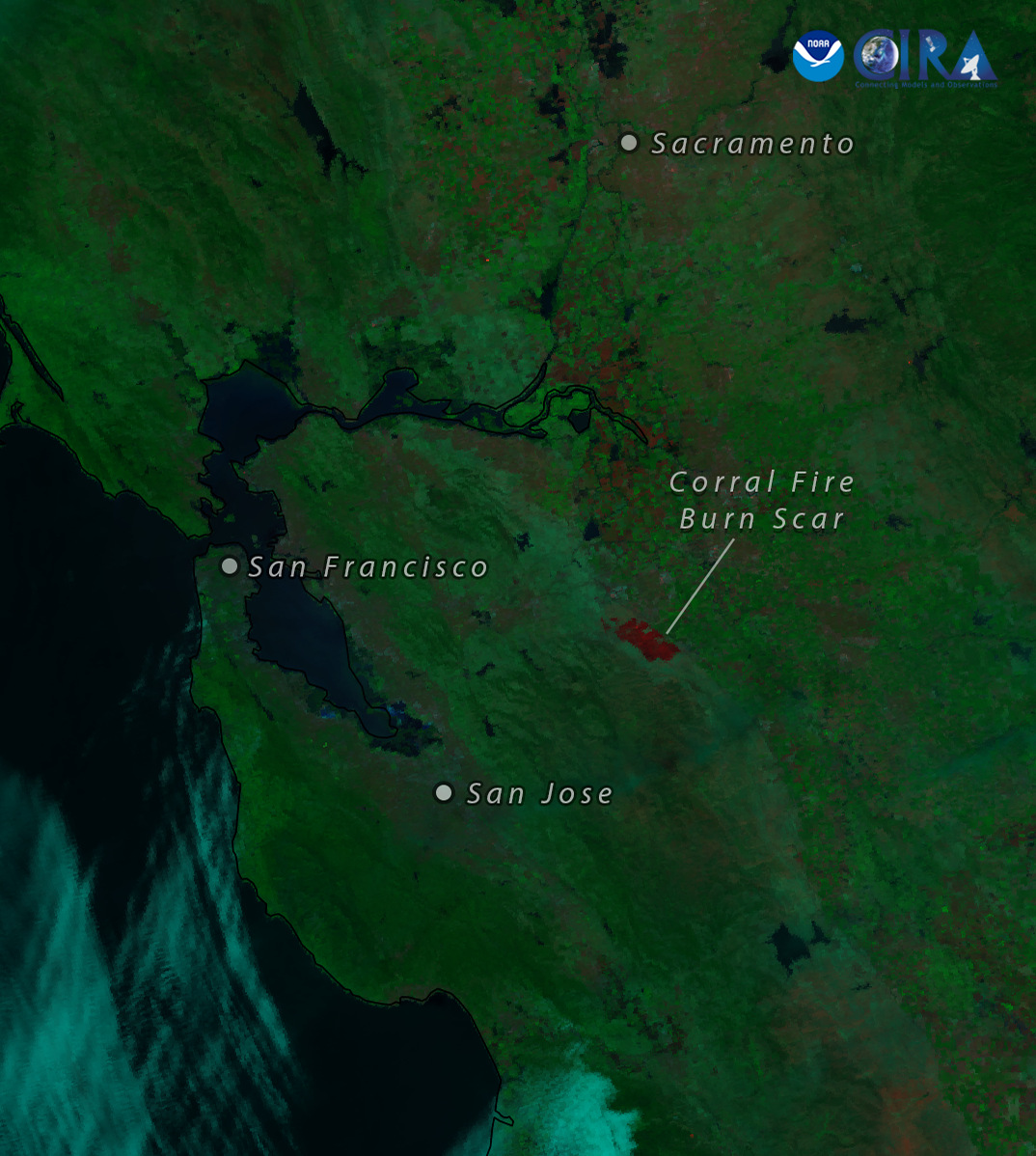
Corral Fire Burn Scar Seen From NOAA-21
Satellite imagery of this event:
Hover over the boxes to play. Click the images to view enlarged
How to credit this imagery | Contributions by: CIRA Staff
Media Details
Fueled by dry, warm air and gusty winds, the Corral Fire, which began burning in Northern California on Saturday, grew to a size of over 14,000 acres by the end of the weekend. Yesterday afternoon, NOAA-21 was able to get a clear view of the burn scar left behind by the flames.
Satellites NOAA-21
Products Day Fire
Instruments VIIRS
Timespan Start: 2024/06/02 20:49 - 2024/06/03 20:49