
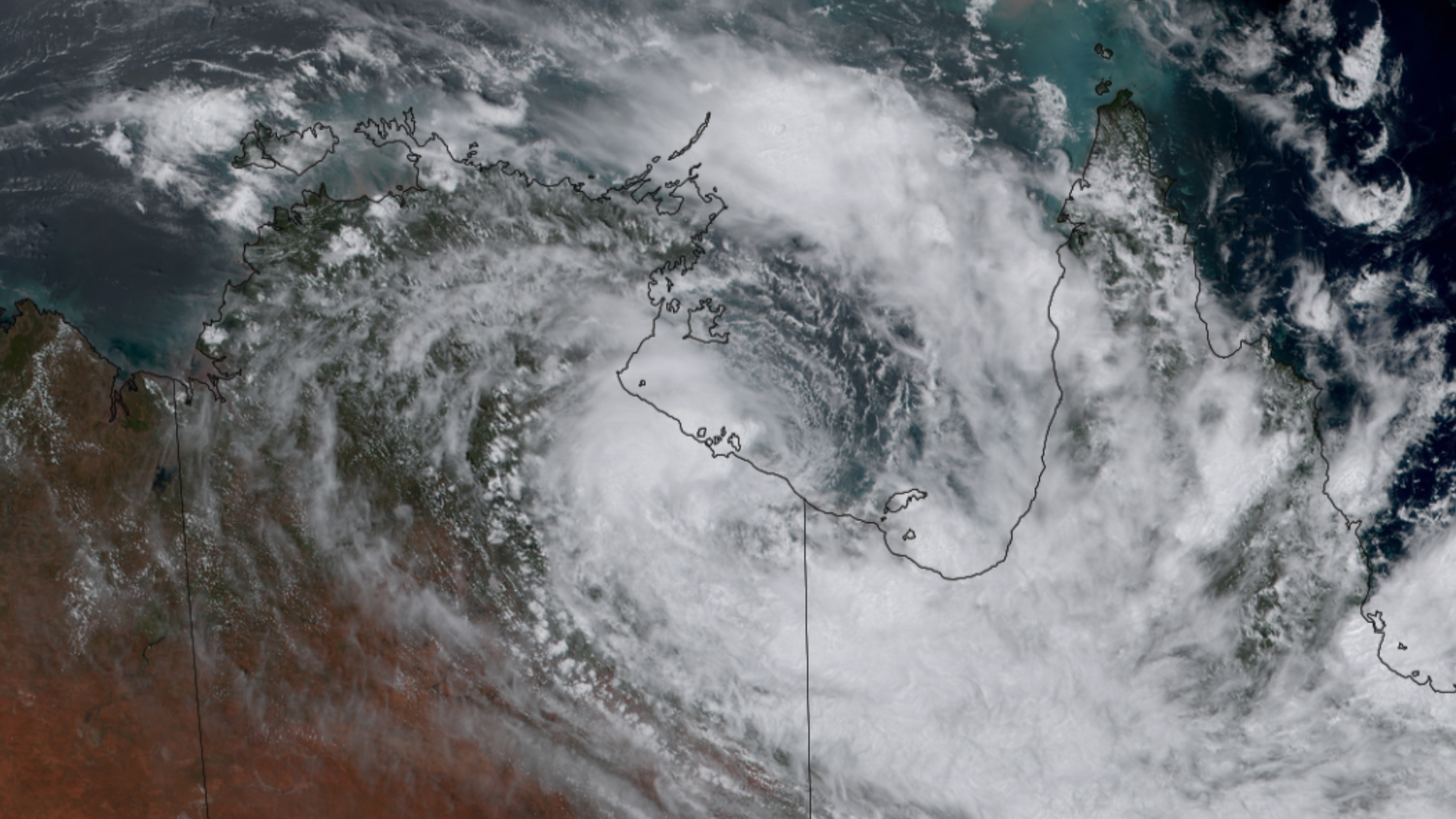

Tropical Cyclone Lincoln
Tropical Cyclone Lincoln spent a lot of time over the Gulf of Carpentaria as an invest before strengthening to a category one storm. After strengthening, the system made landfall on the Northern Territory gulf coast. Once inland, the storm weakened to a tropical low that took a west southwest route over the Northern Territory, bringing heavy rain to the region. The storm slowly moved over Western Australia, dumping buckets of rain, and back to open ocean off the coast of the Kimberley.
|
Contributions by: Kim Erickson
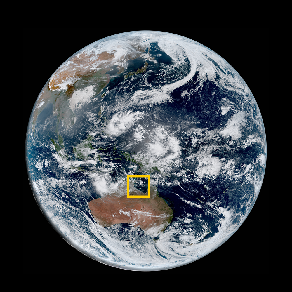
Satellite imagery of this event:
Hover over the boxes to play. Click the images to view enlarged