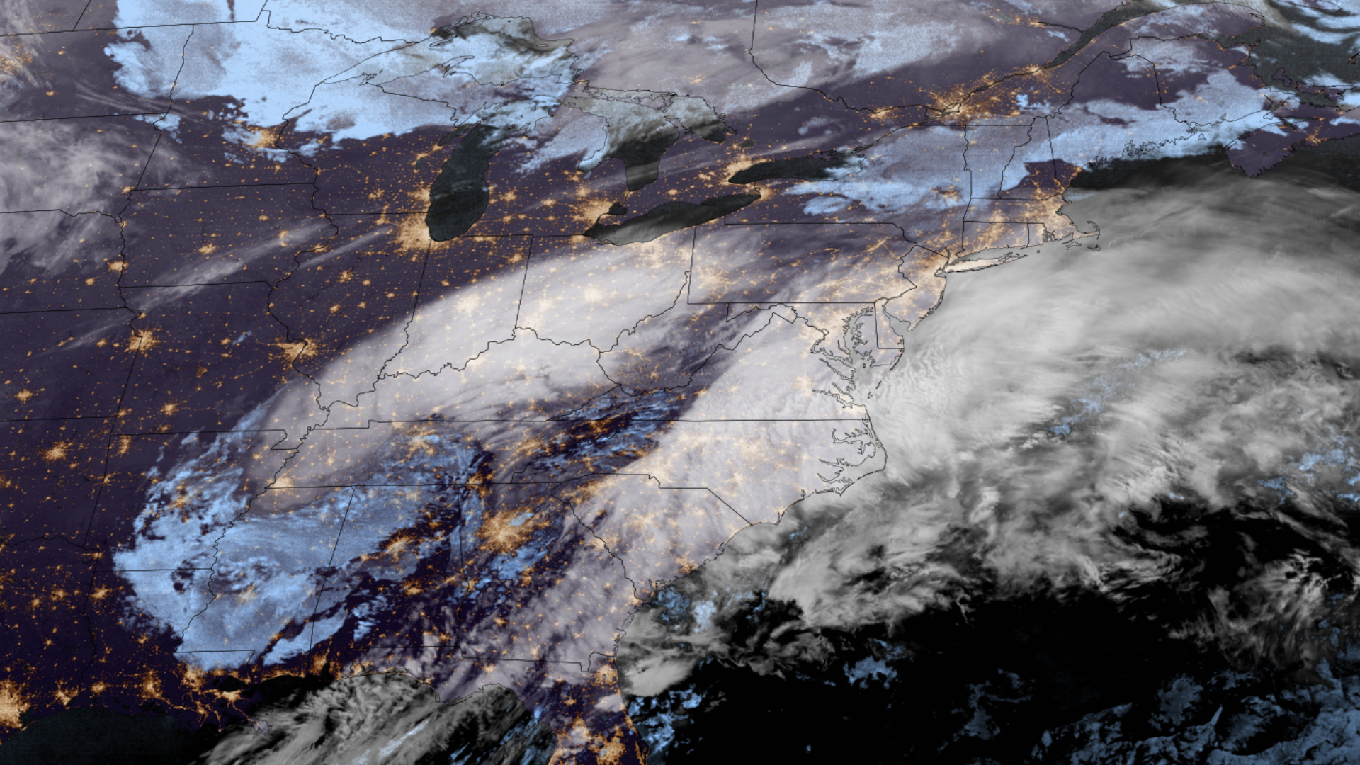
Mid-February Nor’easter

The Northeast US bears witness to the most powerful nor’easter that region has experienced in a couple of years, with cities, towns, and communities up and down New England and the Mid-Atlantic receiving several inches of snow.

Waves of power outages, school closings, and flight cancellations were reported all along the Northeast US due to the heavy snowfall.

For more information, visit the Weather Prediction Center.

|
Contributions by: Kim Erickson and Dakota Smith

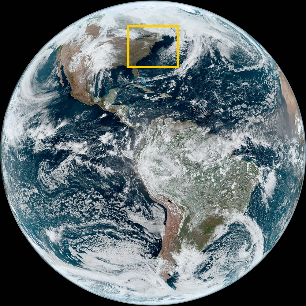
Satellite imagery of this event:

Hover over the boxes to play. Click the images to view enlarged

Former Nor'easter Low Moves Into the Atlantic

Description:

The low takes a massive shape over the western Atlantic as polar orbiting satellites captured it fully from the winter weather in eastern Canada to the end of its tail stretching to the Caribbean.


Phenomena: Mid-latitude Cyclones

Satellite: NOAA-20 NOAA-21 S-NPP

Product: Day Cloud Phase Distinction

Instrument: VIIRS

Beautiful View of Newly Fallen Snow in the Northeast

Description:

A beautiful view of newly fallen snow, left behind after a nor’easter moved through.


Phenomena: Winter Weather Snowfall

Satellite: GOES-16

Product: GeoColor

Instrument: ABI

Low Moves Offshore and Brings Winter Weather to Parts of Eastern Canada

Description:

The low that brought snow to the Eastern US has moved offshore. However, this strong winter storm continues to impact portions of Nova Scotia and Newfoundland and Labrador in Canada.


Phenomena: Mid-latitude Cyclones

Satellite: GOES-16

Product: Visible (band 2)

Instrument: ABI

Snow Bands Pound Northeast with Heavy Snow

Description:

This high resolution imagery shows several snow bands pounding the Northeast with heavy snow.


Phenomena: Mid-latitude Cyclones Nor'easter Winter Weather Snowfall

Satellite: GOES-16

Product: Infrared (band 13) Visible (band 2)

Instrument: ABI

Nor'easter Moves Up the East Coast

Description:

The nor’easter moves up the East Coast, bringing heavy snow to the central Appalachians and southern New England.


Phenomena: Mid-latitude Cyclones Nor'easter

Satellite: GOES-16

Product: GeoColor

Instrument: ABI

Barrage of Storms Trek Across the Southeast US

Description:

High resolution satellite imagery shows a barrage of storms trekking across the Southeast US.


Phenomena: Thunderstorms

Satellite: GOES-16

Product: GLM Group Energy Density Visible (band 2)

Instrument: ABI GLM

Nor'easter Takes Shape as it Approaches US East Coast

Description:

The nor’easter takes shape as it approaches the US East Coast.


Phenomena: Mid-latitude Cyclones Nor'easter

Satellite: GOES-16

Product: GeoColor

Instrument: ABI

Severe Weather and Heavy Rain Across the South Central US

Description:

It was an active weekend for the South Central US with severe weather and heavy rain. This system is expected to bring more of the same throughout the day to the Southeast before moving up the coast and becoming a Nor’easter.


Phenomena: Mid-latitude Cyclones

Satellite: GOES-16

Product: GeoColor GLM Group Energy Density

Instrument: ABI GLM

- February 12, 2024

See more Winter events: