
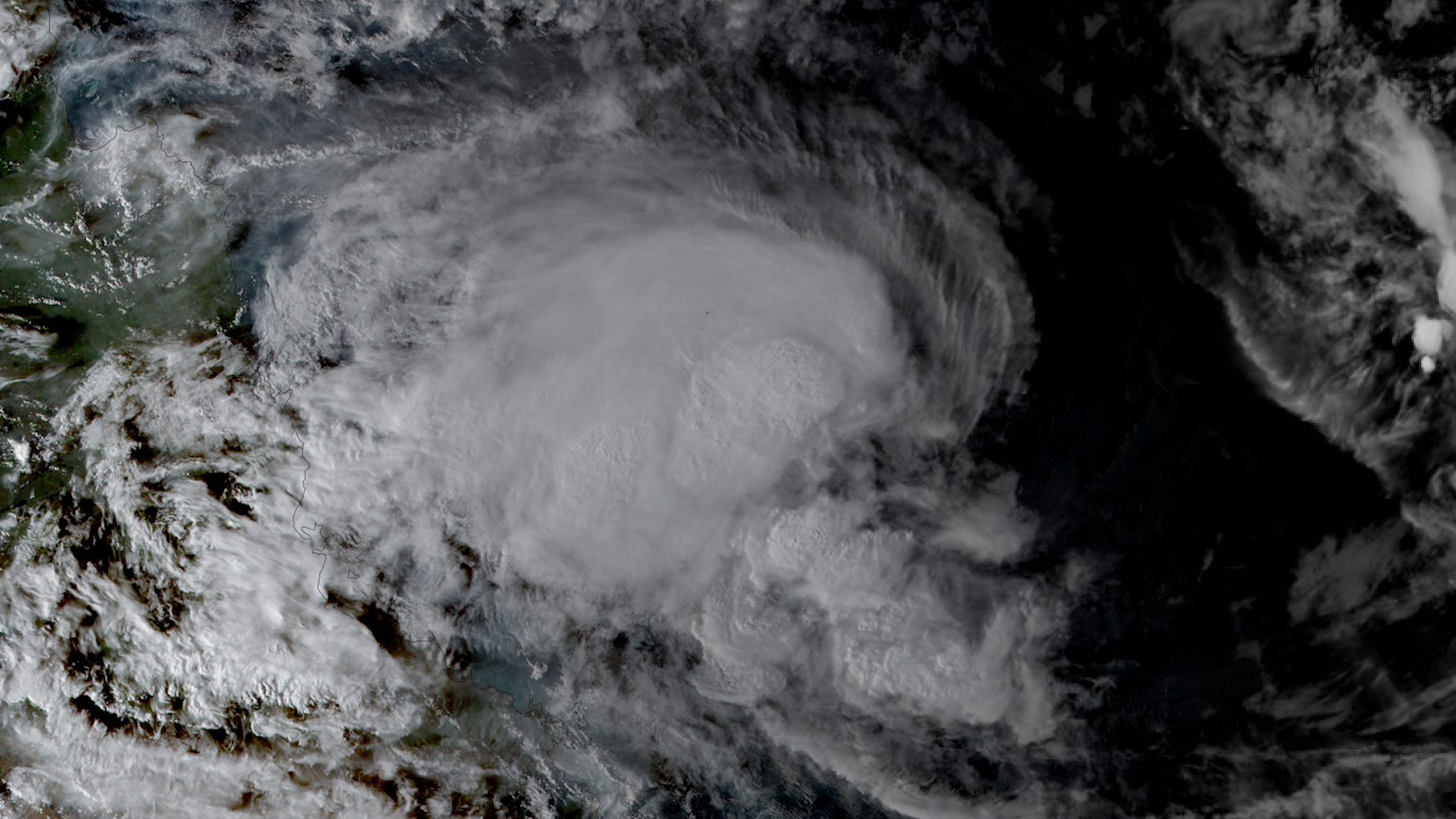

Tropical Cyclone Kirrily
Tropical Cyclone Kirrily was a tropical cyclone in the Coral Sea of the South Pacific Ocean, east of Queensland Australia.
On the night of January 25, 2024, Kirrily made landfall near Townsville in Queensland, Australia as a category 3 storm.
The storm brought heavy rainfall, flooding, and damaging winds to the coast and inland Queensland, with storm surge along the shoreline.
For more information, visit the Australian Bureau of Meteorology.

|
Contributions by: CIRA Staff
Satellite imagery of this event:
Hover over the boxes to play. Click the images to view enlarged