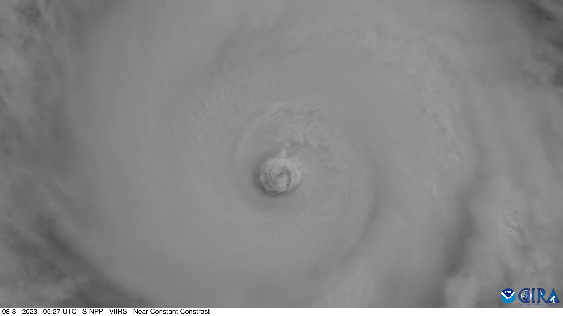
Super Typhoon Saola

Super Typhoon Saola

Super Typhoon Saola was a powerful storm that brought significant impacts to China.

Saola made landfall in Guangdong, China on Sept. 2 after strong winds and rain slammed Macau and Hong Kong. The extensive flooding caused one fatality. Business, education and travel was ground to a halt in Hong Kong on Sept. 1.

The strongest storm to hit the region since 1949, Saola brought wind speeds of over 125 mph at its peak.

As Saola slammed the region, Chinese authorities designated it a No. 10 storm, the strongest designation, on Sept. 1 until Sept. 2.

China had not issued a No. 10 storm since Super Typhoon Mangkhut in 2018.

Detailed forecast information can be found via the Joint Typhoon Warning Center.

|
Contributions by: Dakota Smith

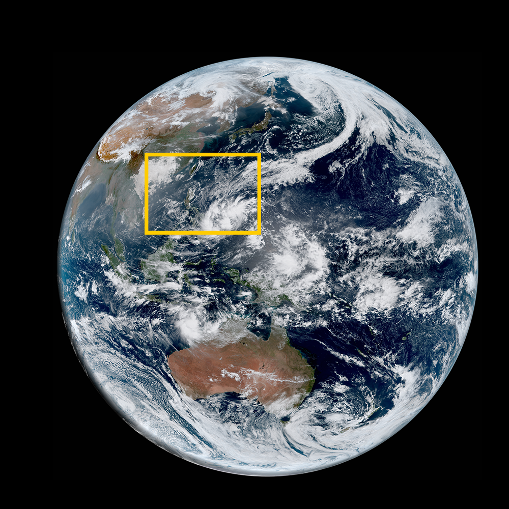
Satellite imagery of this event:

Hover over the boxes to play. Click the images to view enlarged

Saola Heads Toward Hong Kong

Description:

Typhoon Saola weakens slightly as it heads toward Hong Kong.


Satellite: Himawari-9

Product: GeoColor

Typhoons Saola and Haikui Churn in the Eastern Pacific

Description:

Super Typhoon Saola and Typhoon Haikui churn in the Western Pacific. Saola is expected to head toward Hong Kong in the coming days.


Satellite: Himawari-9

Product: GeoColor

Typhoon Saola in High Resolution

Description:

A high resolution image of Typhoon Saola’s clear eye from Suomi-NPP.


Satellite: S-NPP

Product: Visible (I1)

Instrument: VIIRS

Super Typhoon Saola Barrels Towards China

Description:

Super Typhoon Saola barrels towards China as a powerful storm


Satellite: Himawari-9

Product: GeoColor

Multi-Day Evolution of Super Typhoon Saola

Description:

This multi-day time lapse shows Saola evolving, traveling past the Philippines, barreling towards China.


Satellite: Himawari-9

Product: Infrared (band 13)

- August 31, 2023

See more Tropical Cyclones events: